
A few isolated severe thunderstorms may develop across portions of the southern High Plains and Lower Mississippi Valley this afternoon through this evening. The combination of dry conditions and gusty winds will lead to elevated to critical fire weather conditions across New Mexico and southern Colorado through the weekend. Read More >
|
|
|||||||||||||||||||||
| Introduction | |||||||||||||||||||||
|
Pleasant weather usually dominates southern Nevada, southeast California, and northwest Arizona. But even we are susceptible to severe weather. Thunderstorms can produce flash flooding, damaging winds, hail, and even tornadoes. Winter storms can bring high winds as well as heavy snow to the mountains. |
|||||||||||||||||||||
| Role of the Weather Spotter | |||||||||||||||||||||
|
A weather spotter is a person who observes significant weather and relays the information to the National Weather Service (NWS) or appropriate local authority, based on the severity and immediate threat of the event observed. Spotters provide an invaluable service to their communities and to the National Weather Service. The information they provide helps their community by assisting local public safety officials in making critical decisions aimed at protecting lives and property. During life-threatening weather events such as tornadoes and flash flooding, these real-time reports from weather spotters are used to help warn others in their community, as well as those neighboring communities which may be in harm's way. Spotter reports also help National Weather Service forecasters in the critical decision-making process of determining what storms pose a risk to lives and property. The National Weather Service uses these critical reports from storm spotters in combination with radar, satellite, and automated surface observations when issuing Severe Thunderstorm, Tornado, Flash Flood, Winter Storm, and other types of warnings. Your report becomes part of the warning decision-making process, and is combined with radar data and other information and used by NWS forecasters to decide whether or not to:
In addition to being used in the warning decision-making process by National Weather Service forecasters, spotter reports also provide valuable information to people in the path of a potentially deadly storm. Ground truth reports from spotters help to give credibility to the warnings issued by the National Weather Service to those people who are in the path of a potentially damaging or life-threatening storm. This ground-truth information helps to motivate people in harm's way to take action to protect themselves and their property. At times, the National Weather Service may call a spotter after a storm has passed, in order to inquire what conditions were like as the storm moved through. This information helps NWS forecasters train for the next big event. Of course, spotters are always encouraged to take the initiative and call the NWS office with their information. |
|||||||||||||||||||||
| 2024 Skywarn Spotter Class Schedule | |||||||||||||||||||||
|
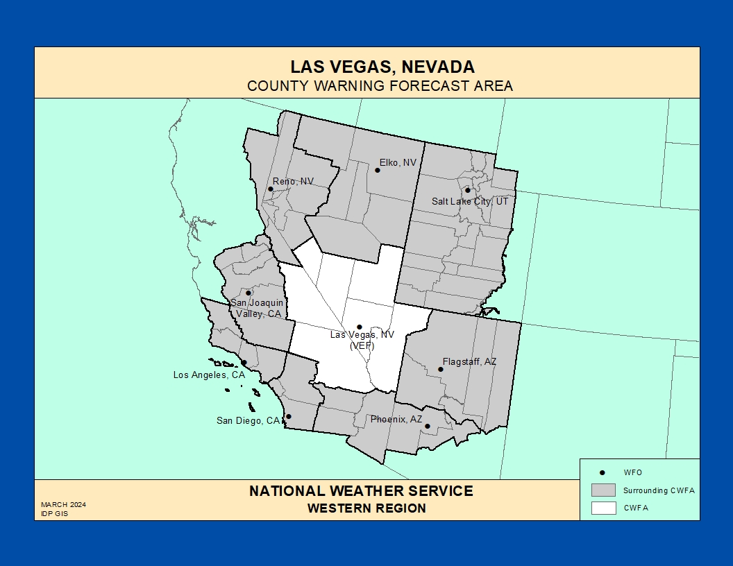
This training will be open to residents of our forecast area (MAP) Unable to attend one of our classes? Don't worry, you can view a recording of a class at your leisure here. Most public training classes will be held between April and June and new classes will be added to the schedule when they are finalized. If you are interested in having a talk for a specific group please contact Andy Gorelow or Delyne Kirkham.
For inquiries regarding the NWS Las Vegas SKYWARNTM Spotter program, please send an e-mail to: Andy Gorelow and Delyne Kirkham, SKYWARNTM Spotter Coordinators.
|
|||||||||||||||||||||
| Resources | |||||||||||||||||||||
| CoCoRaHS Community Precipitation Network | |||||||||||||||||||||
|
|
|||||||||||||||||||||


 Follow us on YouTube