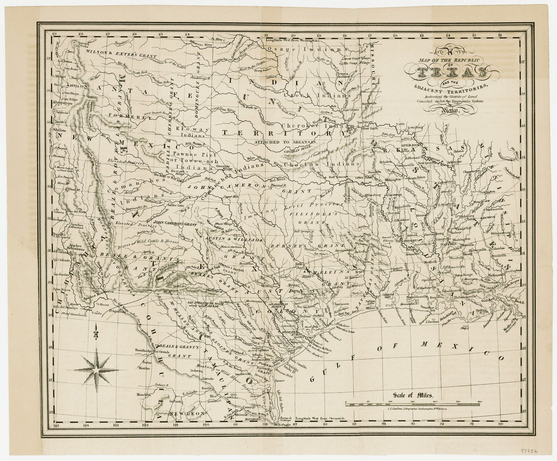
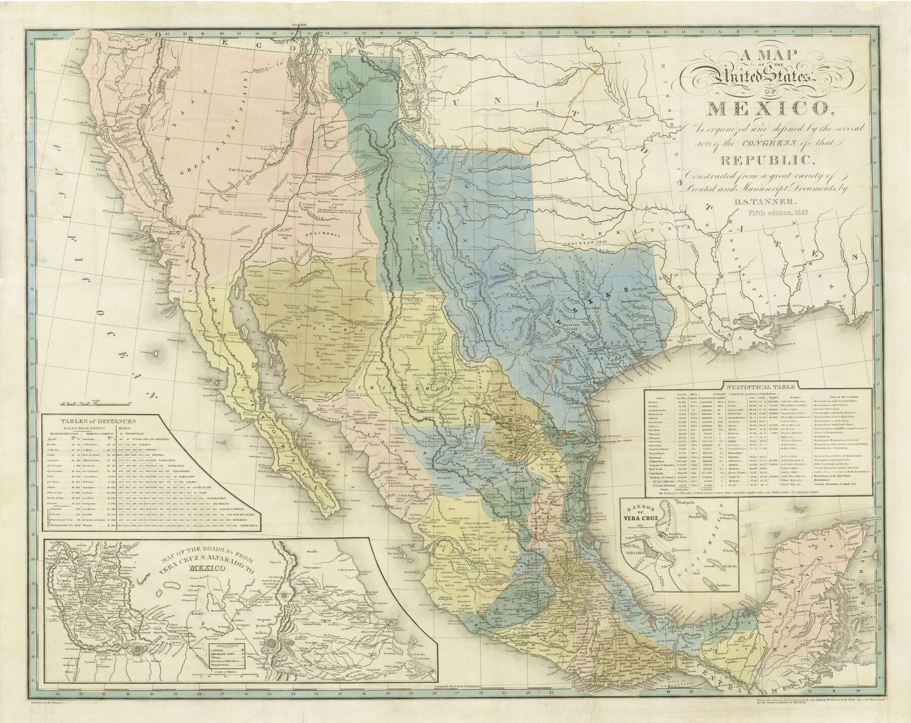
In December 1838 the Congress of the Republic of Texas passed a law directing military personnel to cut a road between Austin and Fort Inglish (now Bonham). The road was intended to protect and advance the frontier by connecting a series of forts to be erected from San Patricio northward to a point near Coffee's Station on the Red River. Col. William Gordon Cooke, commanding the First Regiment of Infantry, was in charge of the expedition, which set out in the fall of 1840 with instructions to begin the road on the Texas side of the mouth of the "Kiamishua Red" river in what is now northwest Red River County and terminate at the Brazos. The troops followed a route close to that of Interstate Highway 35, angling toward the east from the approximate site of present-day Abbott. Drought, loss of supplies, bitter cold, and a scarcity of game delayed the effort to construct the forts and lay out the road. Cooke ultimately camped on Timber Creek north of Fort Inglish and established Fort Johnston, southwest of Coffee's trading post. He chose not to terminate the road at the mouth of the Kiamichi because of the western settlements that would be left unprotected, and led a westward search for hostile Indians, north of the Red River, past the North Fork and over the Pease River.
Cooke returned to Austin in late January 1841. Thereafter, Capt. M. B. Houghton left Timber Creek and established a bivouac, Camp Jordan, near the site of modern Randolph in Fannin County. A few of Houghton's troops from Camp Jordan accompanied engineer William Hudson Hunt when he surveyed and located the Cedar Springs post (within the city limits of present Dallas) near the Trinity River crossing. After the Texas army was disbanded, John J. Holliday, commanding at Fort Johnston, and Houghton departed for Austin in April 1841. They followed the ridge between the Elm and the East forks of the Trinity. This became the historic Preston Road, roughly followed by modern U.S. Highway 289. The troops crossed the Trinity River at the Cedar Springs post and followed the high ground of present-day Cockrell Hill, Duncanville, Cedar Hill, and Midlothian. They joined the original route near the site of Abbott and arrived in Austin on May 3. Interest in the road diminished after Houston became the capital. However, the road that developed along Cooke's passage became an early thoroughfare, an emigrant road, and the route of the first great Southwest cattle trail, the Shawnee Trail.
Is history important to you?
We need your support because we are a non-profit that relies upon contributions from our community in order to record and preserve the history of our state. Every dollar helps.
Hans Peter Nielsen Gammel, comp., Laws of Texas, 1822–1897 (10 vols., Austin: Gammel, 1898). Joseph Milton Nance, After San Jacinto: The Texas-Mexican Frontier, 1836–1841 (Austin: University of Texas Press, 1963). Gerald S. Pierce, "The Military Road Expedition of 1840–41," Texas Military History 6 (Summer 1967).
The following, adapted from the Chicago Manual of Style, 15th edition, is the preferred citation for this entry.
Morris L. Britton,
“Military Road,”
Handbook of Texas Online,
accessed April 19, 2024,
https://www.tshaonline.org/handbook/entries/military-road.
Published by the Texas State Historical Association.
TID:
EXM02
-
Original Publication Date:
-
1952
-
Most Recent Revision Date:
-
September 15, 2018