Fall2022CloudUpdate - Clouds Protocol


NASA GLOBE Clouds Quarterly Update: September/October/November 2022
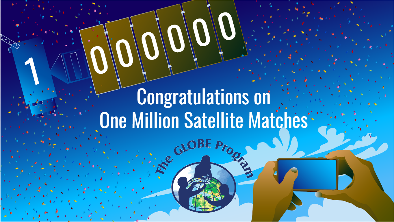
Match to a Million Satellite Matches Celebration
The NASA GLOBE Clouds Team has reached 1 million satellite matches! (Read the news release from NASA Langley) Thanks to the community, GLOBE met this goal. Keep observing the clouds so this total keeps going up.
The GLOBE Program made a special thank you video just for its members!
GLOBE Clouds New Satellite Matching: NOAA-20
The NASA GLOBE Clouds team is excited to announce the upcoming addition of NOAA-20 to its satellite matching capabilities. Yes, this means that later this year, when GLOBE members make their cloud observations, they can match their observations to NOAA-20. GLOBE Clouds project scientist Marilé Colón Robles describes the satellite and changes to the matching schedule in this NOAA-20 blog post.
Meet an Expert: Naudia Graham

The NASA GLOBE Clouds team had the fortune to collaborate with Naudia Graham, a high school intern. She became a GLOBE Clouds expert quickly. She is also interested in advocating for accessibility. Naudia had an important research question: "How can blind and sighted students learn about clouds alongside each other?"
Naudia explored the NASA GLOBE CLOUD GAZE tutorials to learn about different types of clouds. She also explored resources at the GLOBE Clouds website. Among those resources, there was a video featuring Dr. Kristopher Bedka. Then, Naudia worked on three projects.
First, Naudia used an app called Be My Eyes. This app connects users with volunteers who can provide sighted help. So, Naudia used the app to get sighted help to describe NASA CLOUD GAZE sky photographs. As a cloud expert, Naudia knew how to guide sighted volunteers when describing the photographs. For example, Naudia would ask if the clouds on the image looked wispy, layery or puffy. Naudia would go further to ask about the size of the puffs or the opacity of the clouds. Then, based on the volunteers’ responses, Naudia would identify the type of cloud. This exercise helped sighted volunteers learn the names of the clouds (some of them already knew about cloud names, and some did not). And this is how Naudia and sighted volunteers classified NASA GLOBE CLOUD GAZE photos together.
Next, Naudia worked on creating a tactile cloud identification chart. She visited a place with many different types of materials. Then, she chose those textures that could best represent different types of clouds. She created her own cloud identification charts using many different materials. She even used bubble wrap, fabric-flower necklaces, a mini mist fan and lights!
Finally, Naudia went back to the video featuring Dr. Kristopher Bedka. A sighted student described the visual information of the video. Then, Naudia revised the script to ensure that it made sense. Another sighted student made a voice recording of the script. Then, this script was added to the scientific video using a free tool called YouDescribe.
Naudia showed different ways for blind and sighted students to collaborate in studying clouds. She used technology and creativity. Both blind and sighted students enjoy accessing scientific information through many routes. Naudia knows that clouds play an important role on Earth. So she thinks that “we must all find alternative ways to make the science of clouds accessible to all students.”
To learn more about Naudia’s work, see Naudia’s student report.
Science Topic with Brian Campbell:
The Good and the Bad of Clouds While Looking at Trees from the Ground and Space, and the NASA GLOBE Trees Challenge 2022: Trees in a Changing Climate
Brian Campbell is a NASA Senior Earth Science Specialist at the NASA Goddard Space Flight Center’s Wallops Flight Facility in Wallops Island, Virginia, USA. Brian is also the Trees Around the GLOBE Student Research Campaign Lead, the Trees Science Lead for the NASA GLOBE Observer, and the Education Lead for the NASA Ice, Cloud and land Elevation Satellite-2 (ICESat-2). Brian works with local to international students, educators, citizen scientists and researchers in over 100 countries.
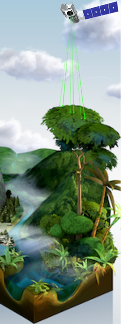
Looking at tree height from space is a tricky thing, as clouds can affect the quality and quantity of the satellite measurements. So, here is a brief look into the good and bad of clouds and observing tree height from space.
The Good: Clouds are a major component of the Earth’s system that reflect, absorb and scatter sunlight and infrared emissions from Earth. This affects how energy passes through the atmosphere. Different types of clouds have different effects, and the amount of cloud cover is also important. Clouds are a key factor influencing local weather as well as the Earth’s climate system. They affect the overall temperature or energy balance of the Earth and play a large role in controlling the planet's long-term climate. Researchers need accurate data on clouds to understand their impact over time.
The Bad: Very thick clouds make it difficult for the lasers to travel through to the ground surface to take height measurements under the clouds. Cirrus clouds composed of ice crystals have the same effect. This creates some gaps in the ICESat-2 data, especially in areas with extended periods of cloud cover.
With all this said, clouds are not always bad for ICESat-2. The satellite can gather information on the cloud heights, composition, density and more to advance the field of cloud physics.
The Challenge: On 11 October 2022, the NASA GLOBE Trees Challenge 2022: Trees in a Changing Climate, will commence. With the 3.03 trillion trees and 78,000 tree species on Earth, NASA is constantly striving to build and sustain the global inventory of tree height observations. NASA also wants to collect as many tree circumference measurements as possible. The data collected by volunteer scientists on the ground can potentially be compared to the space-based tree height data from ICESat-2. Learn more about the challenge.