
As of 6:00 p.m. today, all inquiries for fire information should be directed to the McKenzie River Ranger District Office of the Willamette National Forest. Phone: (541) 822-3381
Central Oregon – Petes Lake Fire started by a lightning strike on Friday, August 25th in the Willamette National Forest. This remote wildfire is located in the Mink Lake Basin of Three Sisters Wilderness approximately four miles west of the Cascade Lakes Scenic Highway and Elk Lake. In terms of forest boundaries and jurisdiction, the fire perimeter is mostly within the McKenzie River Ranger District of the Willamette National Forest with a small portion in the Bend Fort-Rock Ranger District of the Deschutes National Forest.
A closure order for the Petes Lake Fire expired this week, opening access to all trails within the Three Sisters Wilderness that are on the Willamette National Forest September 29, 2023.
Northwest Incident Management Team 10 assumed command of the fire September 27, 2023.
| Current as of | Tue, 10/10/2023 - 19:18 |
|---|---|
| Incident Type | Wildfire |
| Cause | Lightning |
| Date of Origin | |
| Location | Wilderness |
| Incident Commander | Incident Commander - Alan Lawson Deputy Incident Commander - Nathan Rabe |
| Incident Description | Wilderness |
| Coordinates |
43° 58' 8'' Latitude
-121° 54' 5
'' Longitude
|
| Size | 3,254 Acres |
|---|---|
| Percent of Perimeter Contained | 80% |
| Estimated Containment Date | 10/15/2023 |
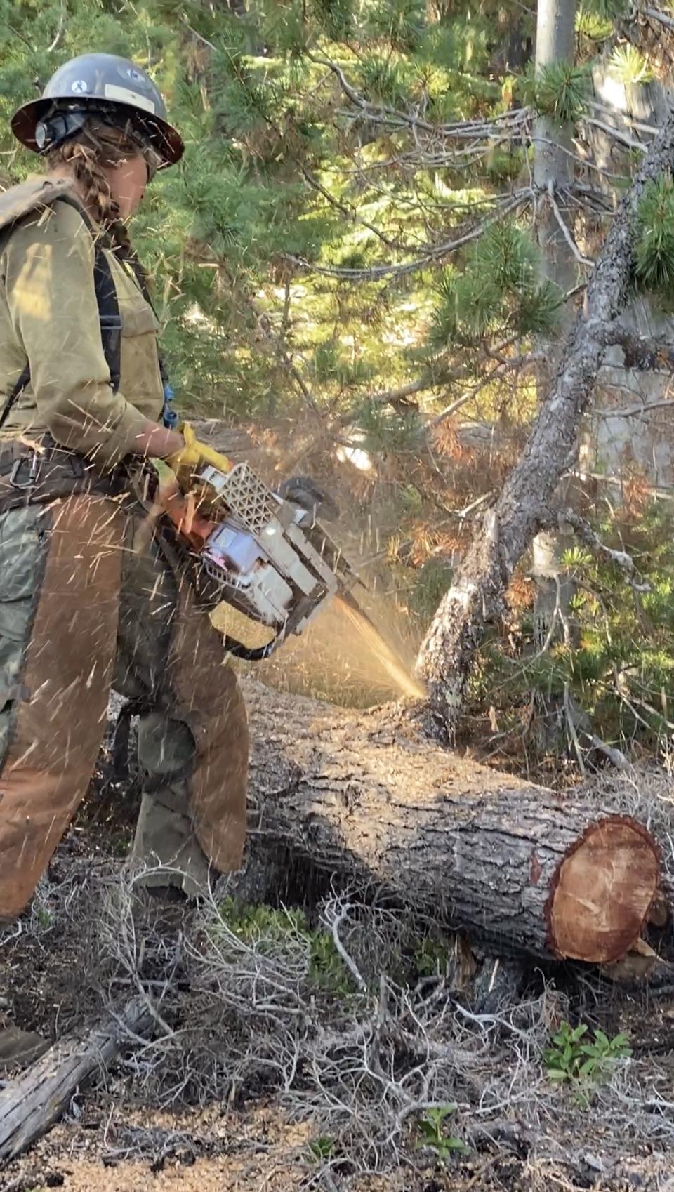
| Fuels Involved | Timber (Litter and Understory) Mixed stands of varying age classes exist throughout the fire area. Old growth stands contain heavy fuel loading with an abundance of moss and lichen in the canopy. Younger managed stands have an understory of brush/shrub component. Youngest stands of forest regeneration have a heavy slash component from prior harvest. Primary carrier in old growth stands is 100 - and 1000-hour fuels with spread accelerated by short range spotting from lichen. Primary carrier in managed stands is timber and slash. |
| Significant Events | Minimal Precipitation, cool and moist conditions reduced the opportunity for fine fuels to contribute to fire spread. Overnight RH recoveries remain good. Protected heavy dead and down continue to smolder. |
| Planned Actions |
Monitor
|
|---|---|
| Projected Incident Activity |
12 hours: Precipitation, cool and and moist weather conditions will keep fire behavior to a minimum. Smoldering is expected in heavy dead and down fuel. No growth is expected. 24 hours: Precipitation, cool and moist weather conditions, fine fuels will be resistant to burning as they reach moisture of extinction levels. Expect to see smoldering in sheltered heavy dead and down fuel. no growth is expected. 48 hours: Cool and moist weather conditions will keep fire behavior to a minimum. High probability of smoldering to continue in sheltered heavy dead and down fuel. No growth is expected. 72 hours: Cool and moist weather conditions will keep fire behavior to a minimum. High probability of smoldering to continue in sheltered heavy dead and down fuel. No growth is expected. |
| Remarks |
The resources for Petes Lake Fire are reflected on the Lookout Fire SIT-209. The percent completed shown in box 8a is the percent completed of the point zone protection work around Elk Lake and the surrounding area. |
| Weather Concerns | Rain began early this morning as up to 0.05" was already observed before 0700, with another 0.40" through the morning under cloudy skies. Periods of light showers will continue through the afternoon before the next batch of showers approach later this evening and continues through much of the day on Wednesday. Temperatures have been stable through the morning, staying between 44 and 47 degrees since midnight. Winds have also been consistently out of the southwest, with the highest gusts between 0400 and 0600 at 13 mph. Wind gusts have stayed closer to 10 mph through the morning and early afternoon but are anticipated to increase this evening and through much of the day tomorrow. |
|---|